Cape Byron Lighthouse
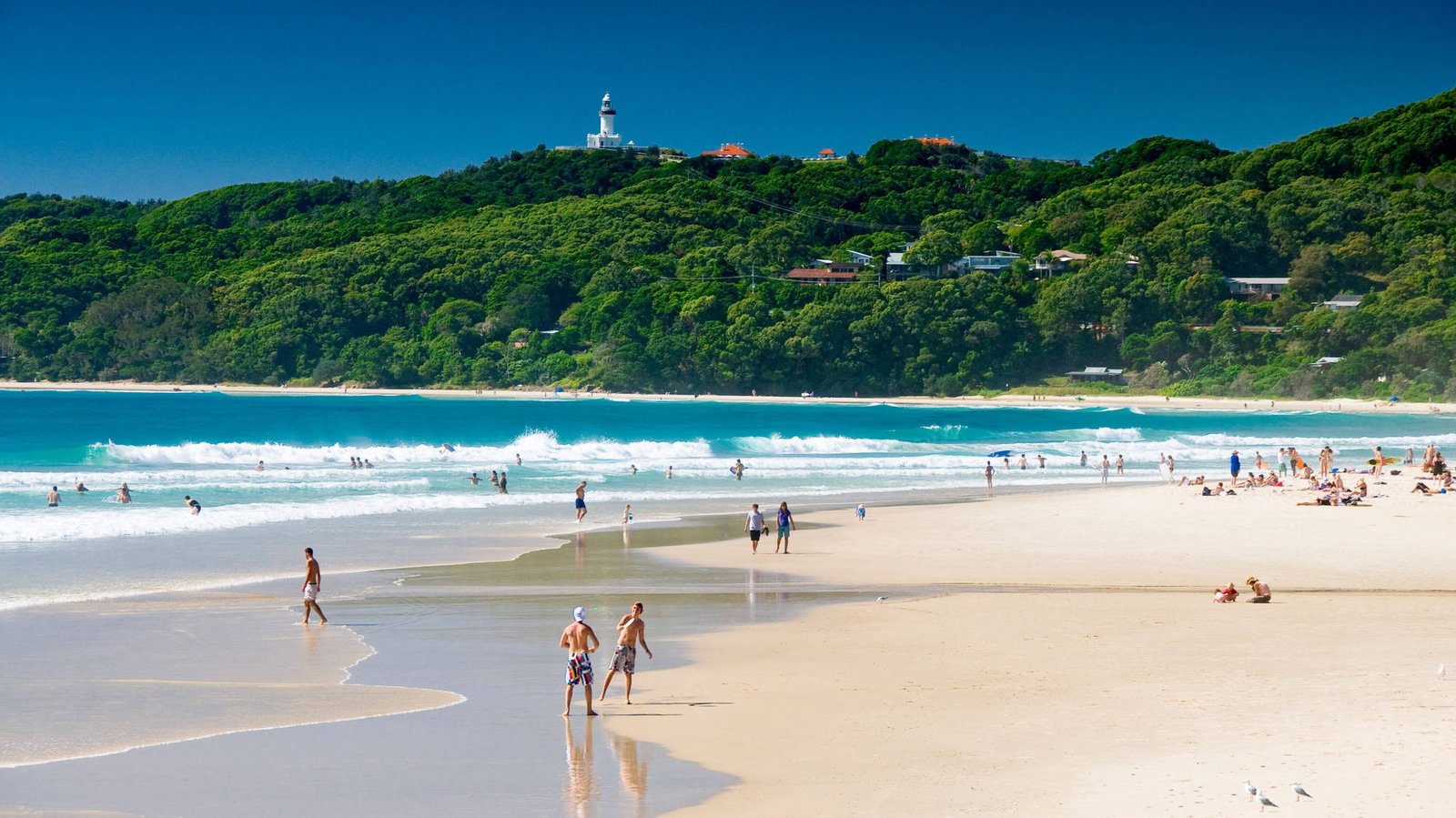
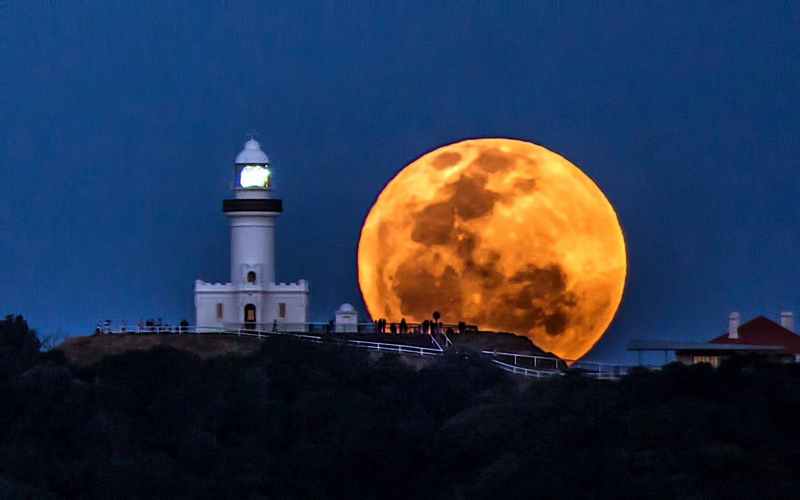
The lighthouse was completed in 1901 and first lit that December. It stands on the most
easterly point of the Australian mainland, and it is the most powerful light in the country
— visible far out to sea on a clear night. It was staffed by keepers and their families for
most of the twentieth century and automated toward the end of the 1980s; the keepers'
cottages are still there.
The cape itself was named by James Cook as he passed in 1770, after John Byron — a naval
officer and circumnavigator, and, as it happens, the poet's grandfather. The headland sits
inside a state conservation area, and the walking track loops through littoral rainforest,
open grassland and clifftop before returning to the beach.
What people remember is not the building. It is standing at the easternmost railing
knowing there is nothing between you and South America, and, between June and November,
watching whales pass close enough that you do not need binoculars.
The Farm, Ewingsdale
Eighty acres, ten minutes from the beach, run as a working farm with the public walking
through it. There is a market garden you can walk the rows of, a bakery, a produce store,
a flower operation, chickens, cows and pigs, and a restaurant that grew out of the farm
rather than the other way round.
For a coach group it is unusually good: sealed paths, room to spread out, food that
copes with forty people arriving at once, and animals close enough that children get
something out of it. It is the one stop on this itinerary that people ask to go back to.
Point Danger and the border
Cook named this one too, on the same voyage, after nearly putting the Endeavour onto the
reef off it. The state border between New South Wales and Queensland runs across the
headland, and the line is marked — which is why every group photographs somebody standing
with a foot in each state.
The Captain Cook Memorial sits on top, a concrete tower carrying a light, built around
the bicentenary of Cook's passage. From the lookout the view runs north up the whole length
of the Gold Coast, with the towers of Surfers Paradise stacked at the far end of the beach.
One practical note: the border is also a time zone boundary during daylight saving.
Between October and April, New South Wales is an hour ahead of Queensland, and you will
cross that line twice on this tour. Your phone will handle it. Your watch will not.
Cape Byron, quickly
- Lighthouse first lit: 1901
- Position: most easterly point of the Australian mainland
- Walking track: around 3.7 km, allow 90 minutes with stops
- Named by: James Cook, 1770
- Best whale months: June to August north, September to November south